
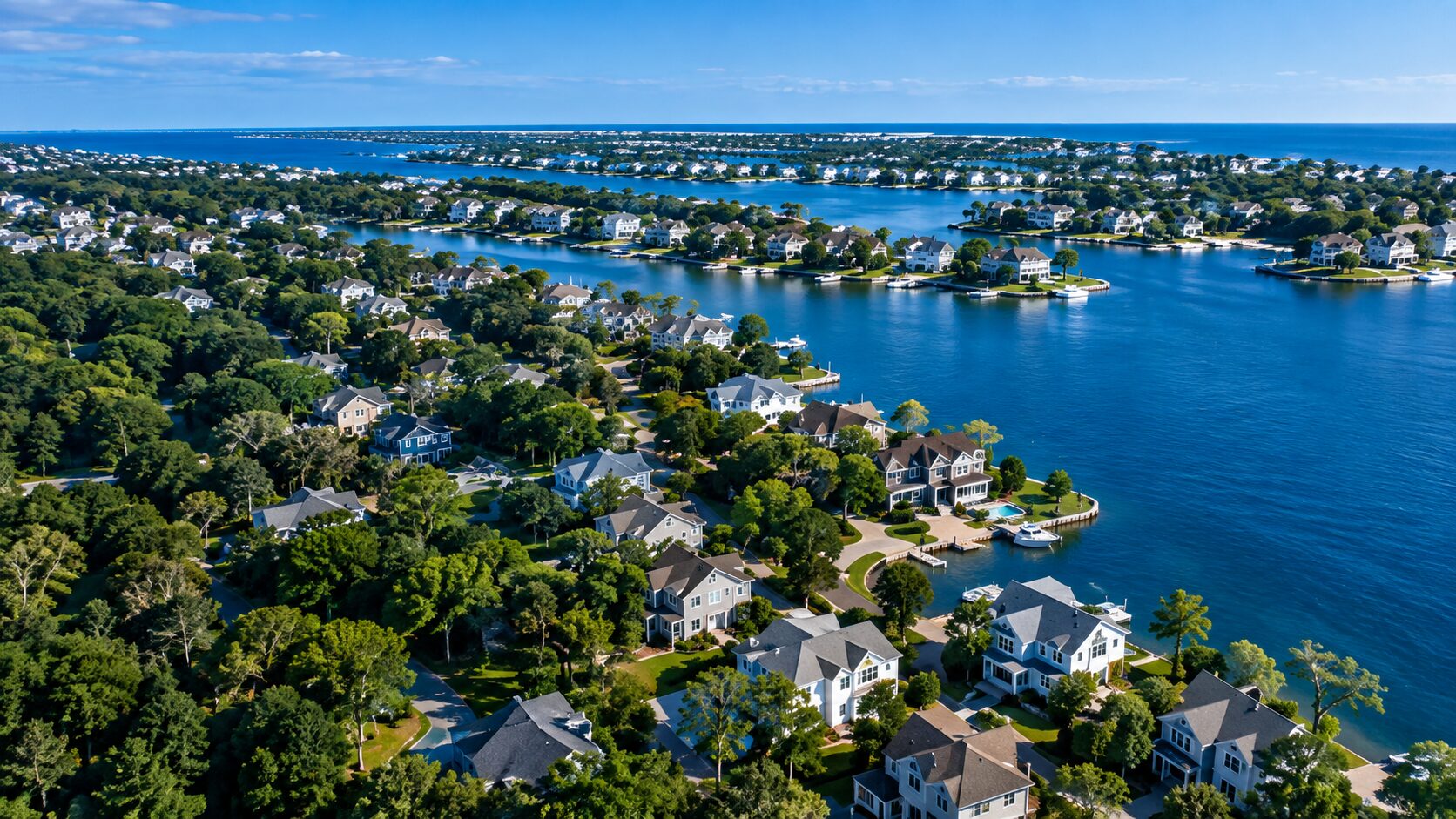
Solutions
One dataset. Many real-world decisions.
CLEAR™ turns building-level elevation and geospatial intelligence into practical solutions for flood resilience, infrastructure planning, risk assessment and community preparedness.
Safer. Stronger. More resilient communities.
Our solutions
Real challenges. Real impact.
Using CLEAR™, we help organizations turn complex geospatial data into actionable intelligence for a more resilient future.
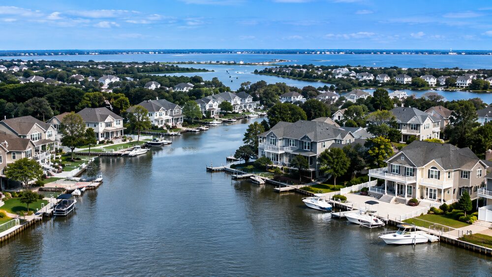
Flood Resilience & Planning
Identify vulnerable buildings, prioritize mitigation and support floodplain management.
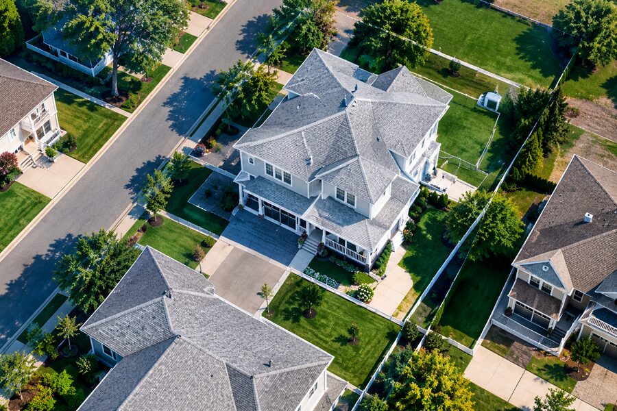
Building-Level Risk Intelligence
Understand elevation, exposure and vulnerability at the individual-building level.
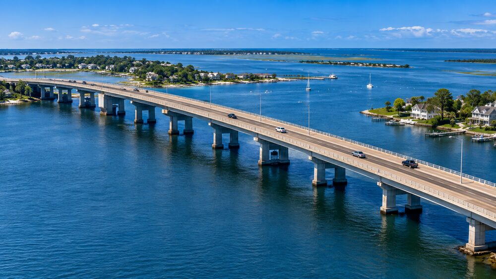
Infrastructure & Community Resilience
Support planning for transportation, infrastructure and community assets.
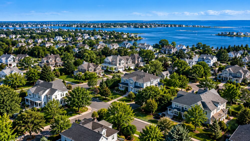
Insurance & Risk
Bring building-level elevation intelligence into underwriting, risk models and resilience decisions.
Built for the people making resilience decisions
Municipalities
Plan and protect stronger communities.
Engineering Firms
Design with confidence.
State & Federal Agencies
Inform policy and investment.
Insurers & Reinsurers
Improve risk assessment and pricing.
Transportation Agencies
Build more resilient infrastructure.
From building intelligence to a fuller picture of risk
Broader insight. Greater impact.
Urban Reality combines expertise in geospatial AI, hydrology, flood modeling and infrastructure to help translate complex environmental information into actionable resilience intelligence.
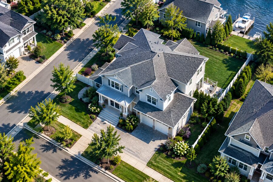
Building Intelligence
- FFE & FFH
- Building Features
- Ground Elevation
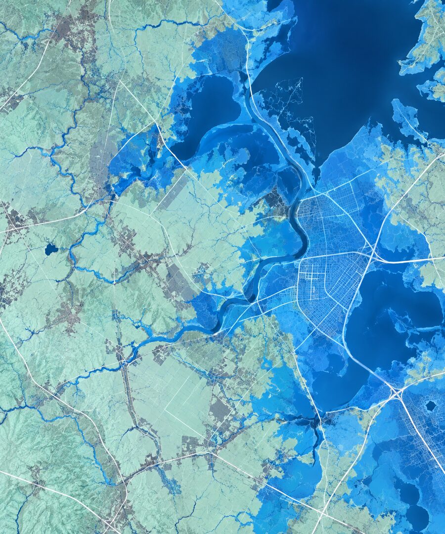
Flood & Hydrologic Intelligence
- Flood Modeling
- Extreme Rainfall
- Forecasting
- Climate Risk
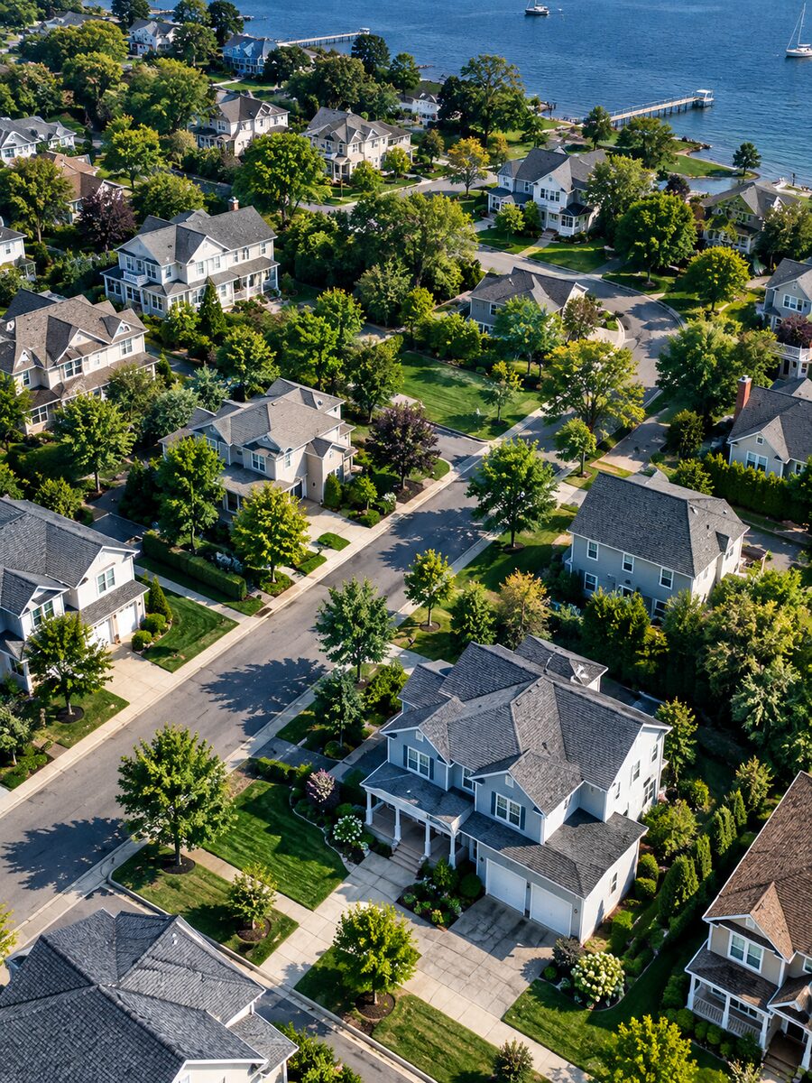
Decision Intelligence
- Risk Assessment
- Mitigation
- Planning
- Early Warning