
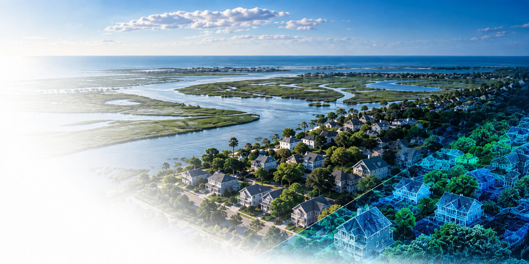
About Urban Reality
Born from research. Built for real-world resilience.
Urban Reality transforms advanced research in LiDAR, geospatial AI, hydrology and flood science into practical intelligence for communities, infrastructure owners, engineers and insurers.
Research. Technology. Real-world impact.
Our story
From university research to real-world impact.
Urban Reality grew out of decades of university research focused on using LiDAR, computer vision and geospatial data to better understand the built environment.
Through field data collection and flood-resilience research in New Jersey communities, the team saw a persistent problem: critical building-level elevation data was expensive, incomplete or unavailable at scale.
That research became the foundation for a bigger idea: what if advanced sensing, AI and flood science could make building-level resilience intelligence accessible at community scale?
Urban Reality was created to take that science beyond the lab and put it into the hands of the people making real-world decisions.
University Research
LiDAR + field research
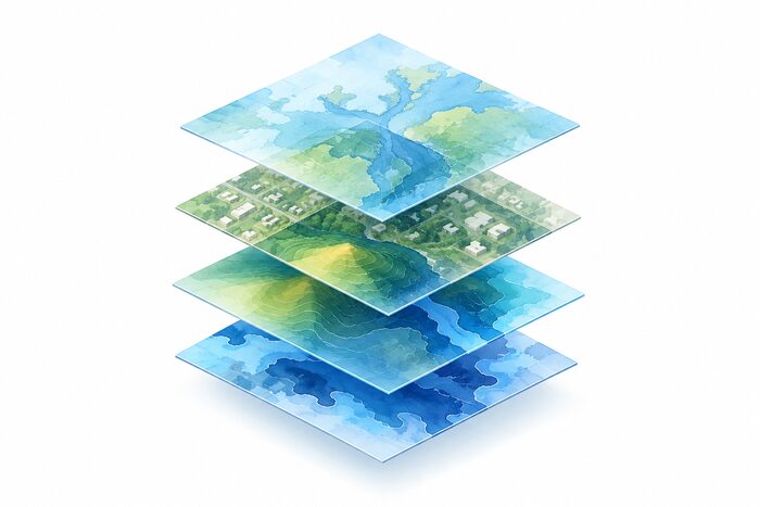
The Discovery
A critical building-level data gap
The Technology
AI + geospatial intelligence

Urban Reality
Science translated into action
Why we exist
Better decisions start with better understanding.
Flood risk doesn’t stop at a flood-zone boundary. It is shaped by rainfall, hydrology, terrain, buildings, infrastructure and the people and systems that depend on them. We believe resilience decisions should be informed by data that reflects that reality.
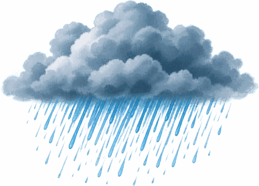
Precipitation
Extreme rainfall and climate change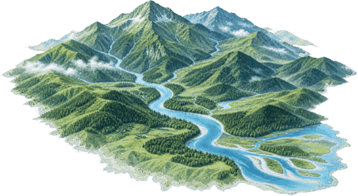
Hydrology
Runoff, riverine and coastal flooding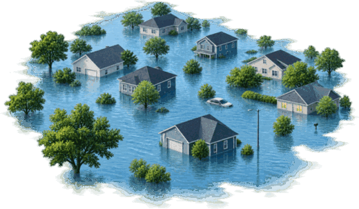
Flood Hazard
Extent, depth and frequency
Built Environment
Buildings and infrastructure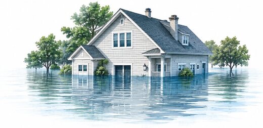
Impact
Damage, disruption and economic loss
Decision
Mitigation, planning, insurance and climate financeUrban Reality brings these layers together — from pixels to policy.
Our science
One problem. Multiple disciplines.
Integrating complementary expertise to deliver a more complete and actionable understanding of flood risk.
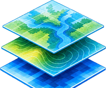
Geospatial AI
Transforming real-world data into high-resolution, building-level intelligence.

Building Intelligence
Detailed, scalable building data to support risk assessment and planning.

Hydrology & Climate
Connecting climate and water systems to understand where risk comes from.
Flood Forecasting & Risk
From hazard to impact, enabling proactive and informed decision-making.
The people behind Urban Reality
Different perspectives. One common purpose.
Company Leadership
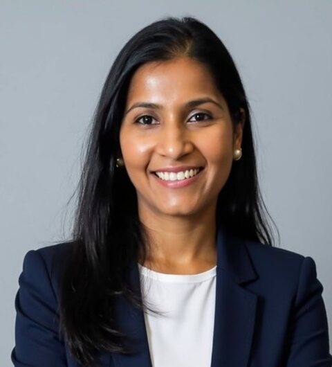
Prarthana Raja, Ph.D.
Co-Founder & CEO
Leads company strategy, product development and partnerships, translating building-level climate intelligence into real-world decisions.

Yaocheng Wu
Director of Technology
Leads the development of AI and computer-vision methods for extracting building intelligence from geospatial data.

Jiahao Xia, Ph.D.
Director of R&D
Drives research and innovation in digital twins, 3D geospatial analysis and building-level elevation modeling.
Scientific Advisory Board
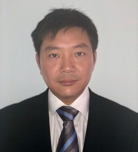
Jie Gong, Ph.D.
Founding Scientific Advisor
Professor, Rutgers University
Pioneer in 3D geospatial AI and built-environment modeling.
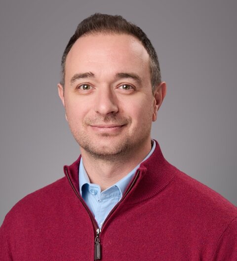
Efthymios I. Nikolopoulos, Ph.D.
Scientific Advisor — Hydrology & Climate Risk
Associate Professor, Rutgers University
Expert in hydrology and climate extremes, linking water systems to real-world risk.
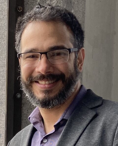
Humberto Vergara, Ph.D.
Scientific Advisor — Flood Forecasting & Early Warning
Assistant Professor, University of Iowa
Expert in flash-flood forecasting and operational flood intelligence.
From research to deployment
500,000+
homes mapped and analyzed
8,000+
comparisons against elevation certificates
2–3 in.
reported validation accuracy*
Research is where we started. Real-world impact is where we’re going.
Our work combines rigorous research with scalable technology designed for deployment across communities and infrastructure systems.
Our mission
Make resilience intelligence accessible at scale.
To transform complex environmental and built-environment data into actionable intelligence that helps communities understand risk, prioritize resilience and make better decisions.
Our vision
A future where every building can be understood in context.
Where climate, flood, infrastructure and building data come together to create a clearer picture of risk — and a more resilient future.
People. Science. Impact.