
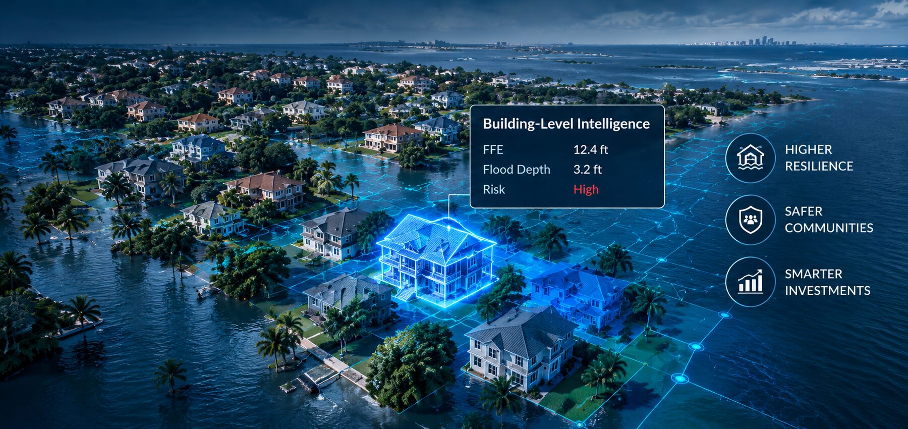
Flood intelligence, atmosphere to asset.
Most flood models tell you the water level.We tell you what floods.
Urban Reality combines geospatial data, AI modeling, and real-world imagery to deliver building-level intelligence — showing which structures are threatened and what the impact means.
Conventional flood intelligence stops at the hazard.
We connect hazard to building-level consequence so you can see the bigger picture.
From atmosphere to asset
A connected view of flood risk.
Urban Reality brings together atmospheric data, AI modeling, hydraulic intelligence and real-world imagery to deliver building-level insights for a more resilient tomorrow.

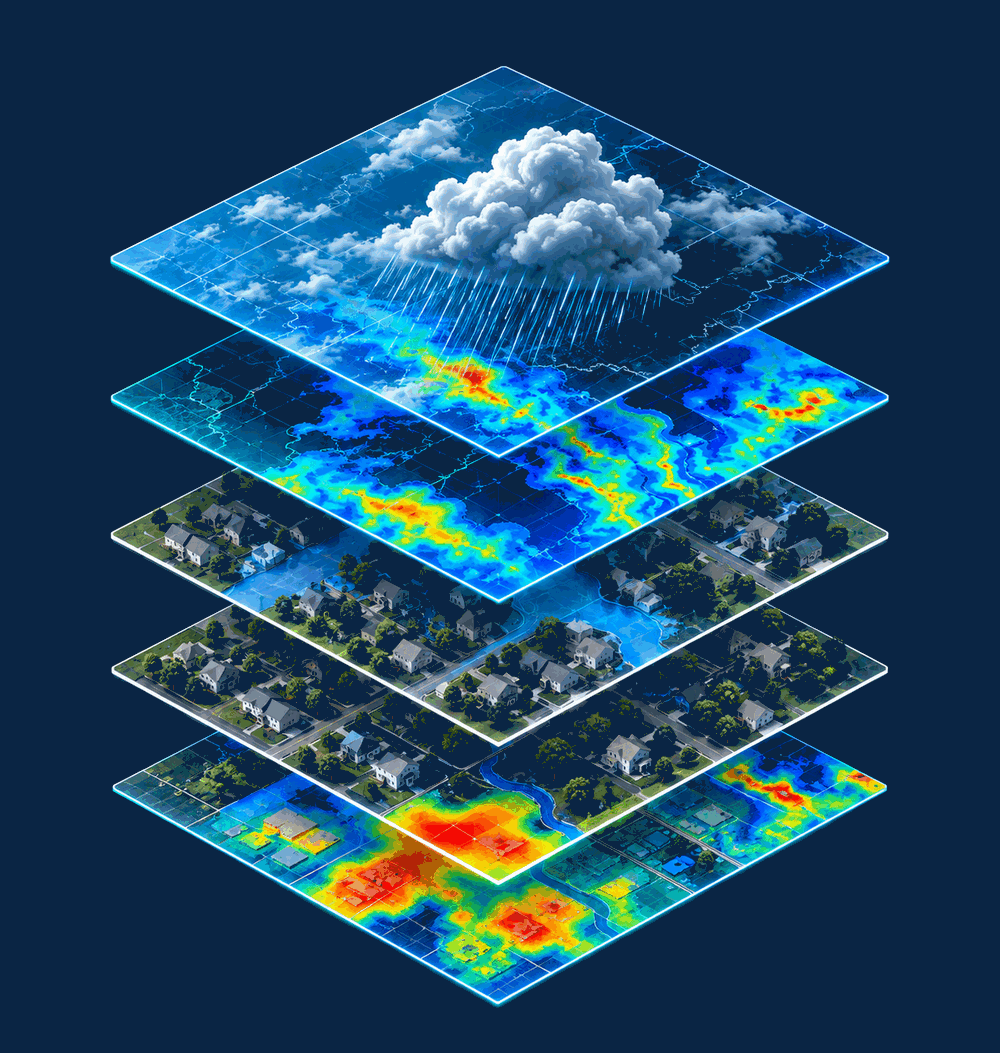
01 — Atmosphere
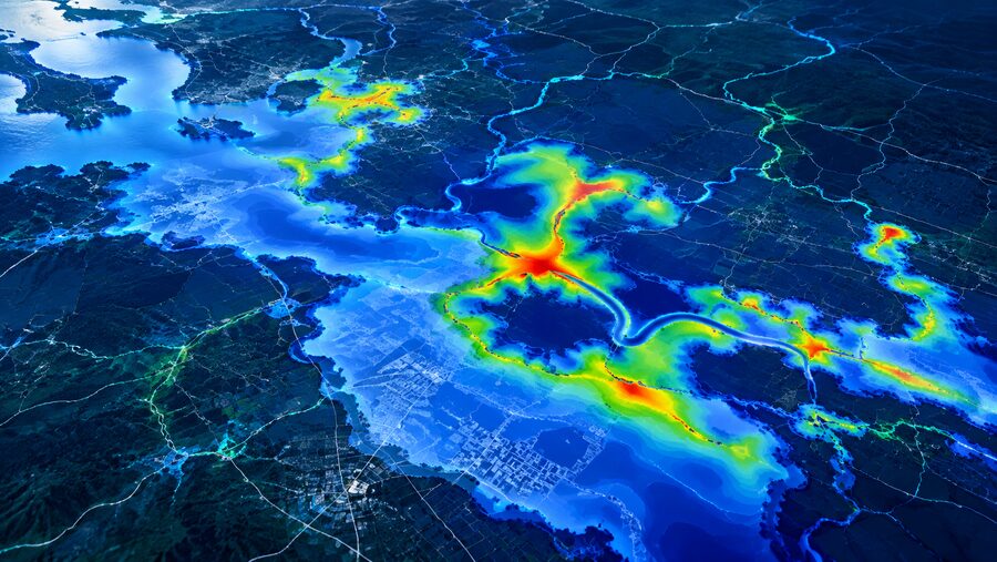
Rainfall forcing & downscaling
Improve satellite and NWP observations and forecasts, enhance spatial resolution, apply AI/ML to improve infrared satellite measurements, and characterize precipitation uncertainty where ground gauges are sparse.
02 — Model
AI surrogate models
Deep neural emulators using U-Net and Graph Neural Network architectures reproduce complex hydrodynamic simulations much faster for live warning and what-if scenarios.
03 — Ground
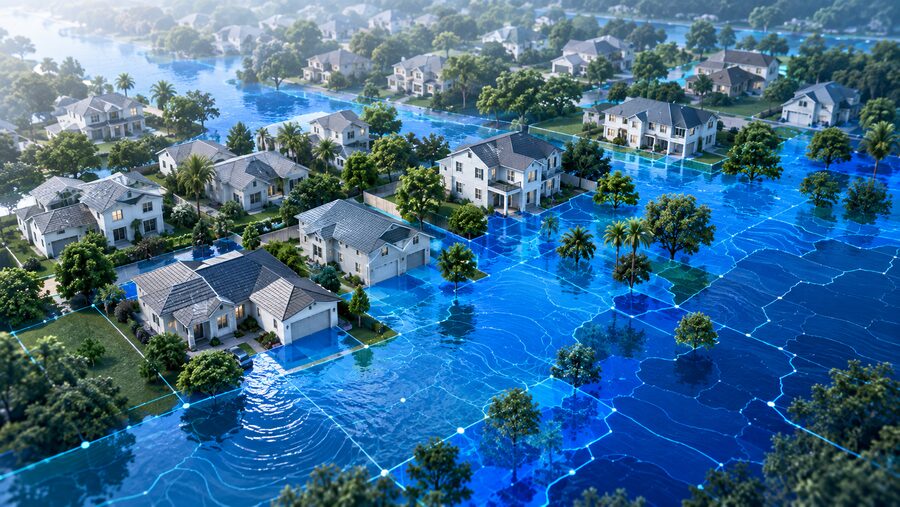
Flood impact risk intelligence
Translate hydraulic outputs into dynamic, building-level risk indicators using elevation, building characteristics and property-level vulnerability.
04 — Street
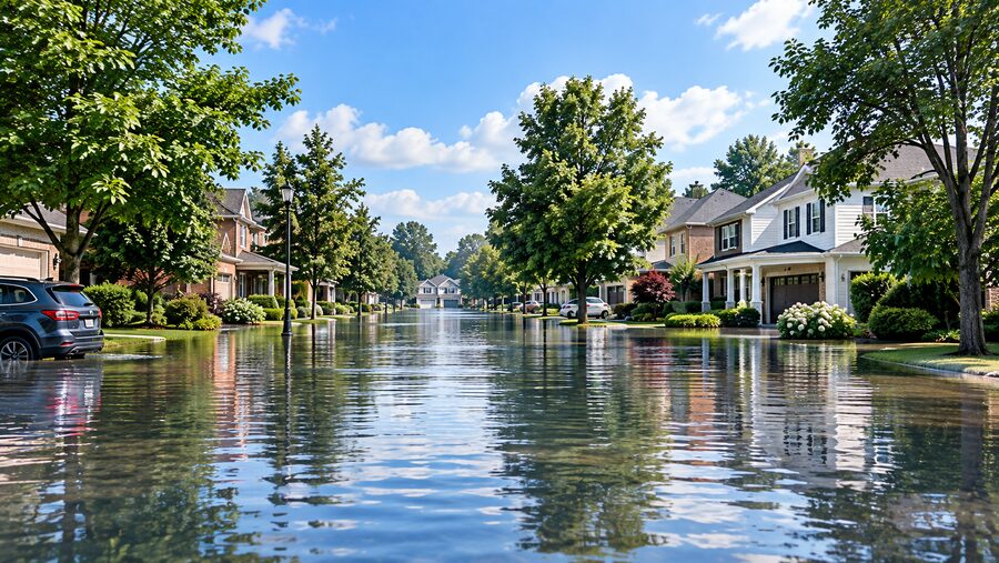
Human-readable scenarios
Turn depth information into accurate street-level visuals to support planning, emergency preparedness, public communication and engagement.
Our products
Five products. One connected flood intelligence platform.
From atmospheric modeling to real-world impact, our products work together to deliver end-to-end flood intelligence.
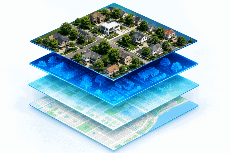
CLEAR™
Elevation extraction
Extracts flood-relevant building information — especially First Floor Elevation — from multi-source geospatial data.
Learn more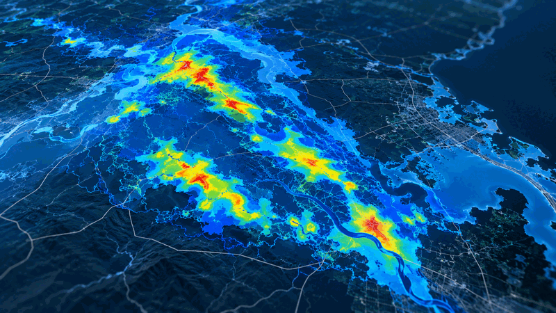
HydroMind
Compound flood prediction
Grounded in physics, powered by AI. Combines atmospheric data, machine learning and hydrodynamic modeling to deliver fast, accurate flood forecasts.
Learn more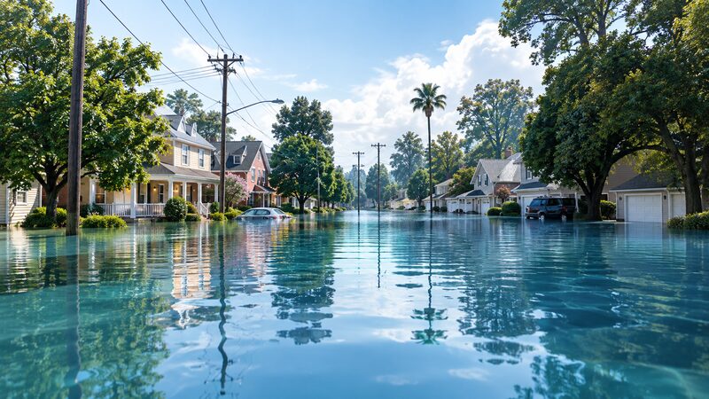
Generative Flood Vision
Diffusion-based visualization
Converts flood depth from regulatory maps or hydraulic models (e.g., HEC-RAS, TRITON) into realistic, location-specific street-level flood scenarios.
Learn more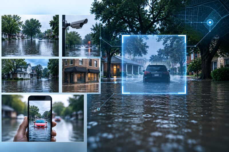
Every Photo a Sensor
LLM flood reconstruction
Reconstructs and geolocates flood conditions from photographs — including existing cameras, crowdsourced and historical imagery.
Learn more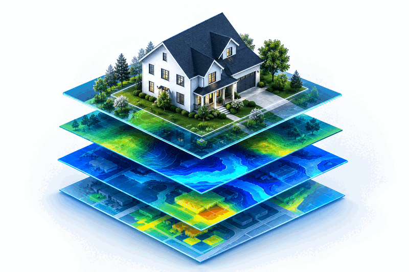
ClearImpact
Hazard-to-consequence
Combines hydraulic hazard with building intelligence to create realistic, building-level risk indicators and property-level impact intelligence.
Learn moreThe Urban Reality platform
From data to decisions.
We transform existing geospatial, model and real-world imagery into decision-ready, building-level intelligence — so communities can plan, respond and invest with greater confidence.
Building-level intelligence outputs
Building features (doors, windows, garages, etc.)
First Floor Elevation (FFE)
Foundation Height (FFH)
Ground Elevation
Flood vulnerability / property-level risk
AI modeling
Physics-informed intelligence at decision speed.
Our AI surrogate models emulate complex numerical hydrodynamic solvers. U-Net architectures capture spatial inundation patterns, while Graph Neural Networks with temporal modeling capture network connectivity and dynamics — enabling faster scenario analysis and real-time flood intelligence.
A more resilient tomorrow
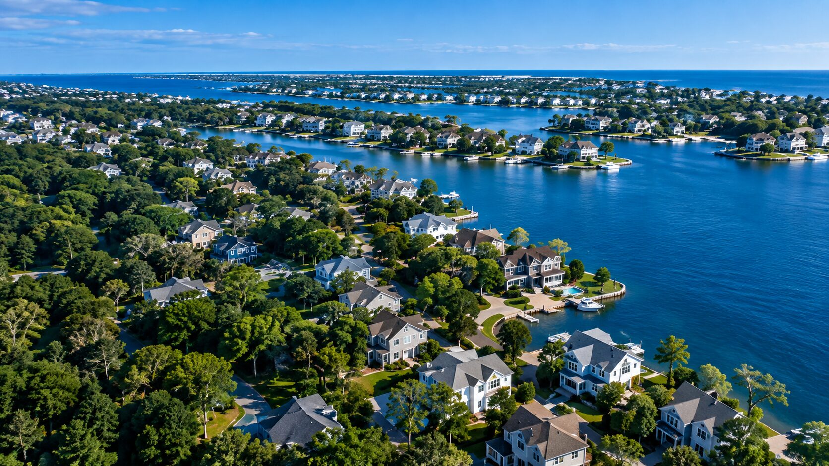
From pixel to policy.
Urban Reality turns geospatial data, flood models and real-world imagery into intelligence for more resilient decisions.
Stronger Communities
More Resilient Infrastructure
A Safer Tomorrow