
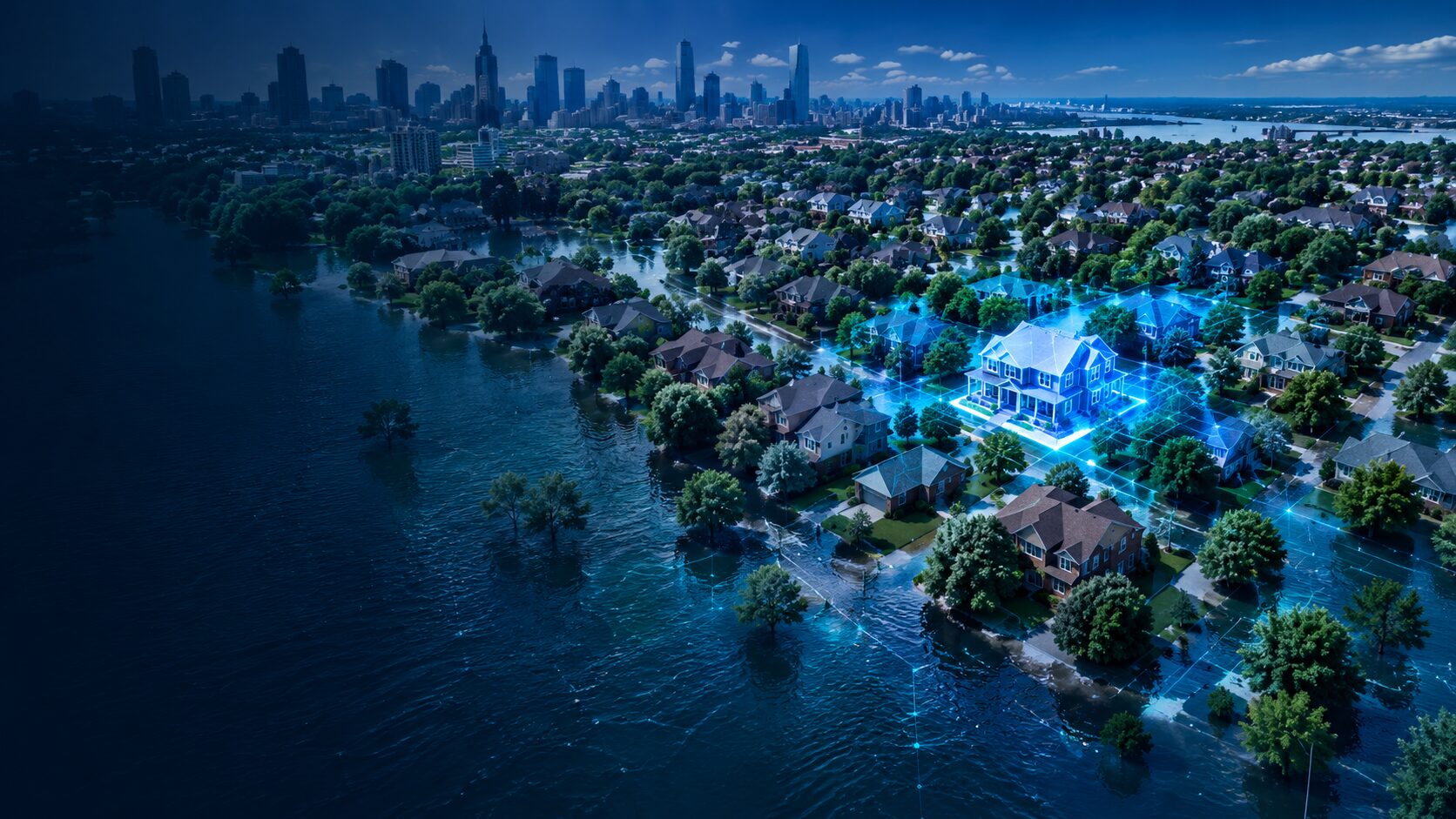
AI for a more resilient tomorrow
AI for the full flood intelligence lifecycle.
From understanding the building, to visualizing the hazard, reconstructing what happened, and translating flood depth into real-world consequence. Urban Reality combines geospatial data, computer vision, generative AI, and real-world imagery to make smarter decisions, reduce risk, and build stronger communities.
Visualize. Monitor. Simulate. Assess.
Understand Flood Risk Across the Entire Lifecycle
Develop More Resilient and Safer Communities
Save Time with a Single, Unified Platform
Make Smarter Decisions with Greater Confidence
01
CLEAR™
Elevation extraction
From geospatial data to building intelligence.
CLEAR™ transforms high-resolution imagery into accurate, scalable 3D building data — automatically. It extracts precise, property-level elevations using patented AI and computer vision, creating a consistent, LiDAR-like dataset without the cost, time, or complexity of traditional surveys. Empower your organization with reliable, comprehensive elevation data to reduce risk and build more resilient communities.
Why CLEAR™ wins
Precise & Scalable
Accurate elevation data at massive scale
Pixel-to-Property
Transforms imagery into property-level 3D data
Buildings & More
Extracts buildings, ground and water surfaces, and more
Any Data Source
Works with satellite, aerial, or drone imagery
Cost-Effective
Delivers LiDAR-like accuracy without the cost or complexity
Reliable & Consistent
Nationwide coverage for analysis and modeling with confidence
02
HydroMind
Compound flood prediction
Better forecasts. Greater confidence.
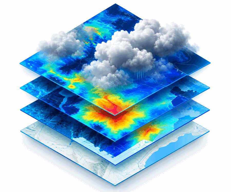
HydroMind combines atmospheric data, machine learning and physical hydrodynamic modeling to deliver fast, accurate flood forecasts — so communities can plan, respond and invest with confidence.
Key benefits
High-resolution precipitation forecasting
Physics-informed, AI-enhanced models
Faster what-if scenario testing
Actionable insights for emergency preparedness
03
Generative Flood Vision
Physics-based visualization
Turn flood depth into something people can see.
Generative Flood Vision converts flood depth data from any model into realistic, location-specific visuals. Trained on millions of real-world images, it shows what flooding looks like at any depth — helping communities, insurers, and decision-makers understand risk, communicate clearly, and take action. From “what if” scenarios to post-event visualization, it brings flood data to life with unmatched realism and speed, turning complex data into powerful insight.
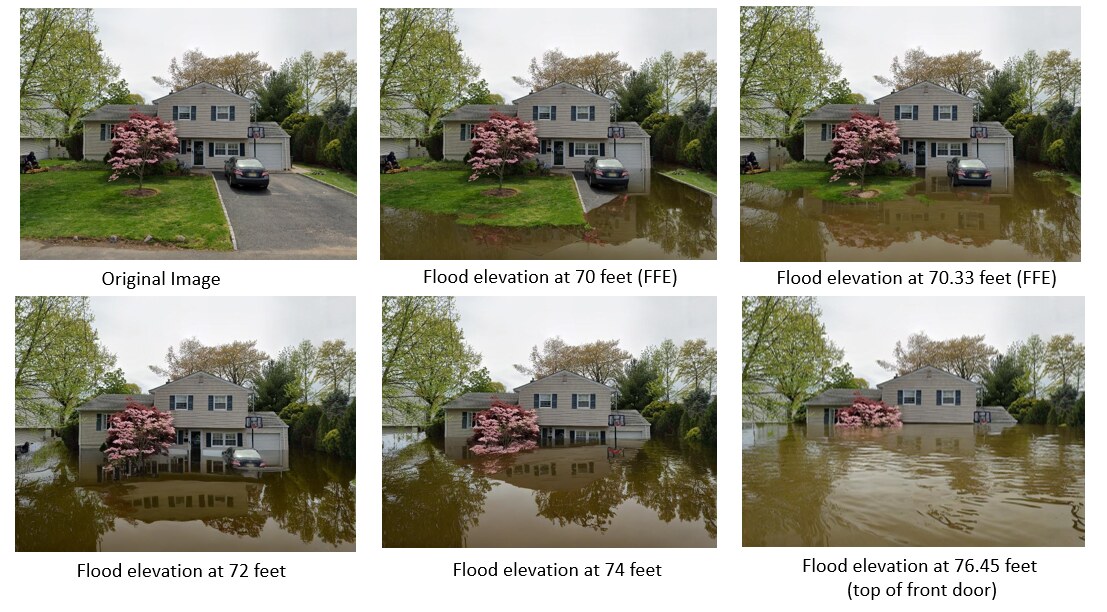 AI-powered visualizations for any flood depth, location, or scenario.
From model output to visual reality.
Input
Flood depth (from any hydraulic model: HEC-RAS, TRITON, or other)
Generative AI
Output
Realistic, location-specific visuals for communication, planning, training, and more
Enable smarter decisions
Risk Communication
Help stakeholders quickly grasp the real-world impact
Planning
Support land use, building code, and infrastructure planning
Emergency Preparedness
Visualize potential scenarios before they happen
Public Engagement
Improved transparency builds trust and accelerates action
04
Every Photo a Sensor
LLM flood reconstruction
If someone captured the flood, we can learn from it.
Every Photo a Sensor (EPAS) uses generative AI to turn everyday photos and videos into flood intelligence. By analyzing visual clues — like water lines, debris, and surroundings — EPAS reconstructs flood depth, location, and context with remarkable accuracy. It works with crowdsourced, historical, or real-time imagery, giving you a faster, more complete picture of what happened — and helping communities respond and recover more effectively.
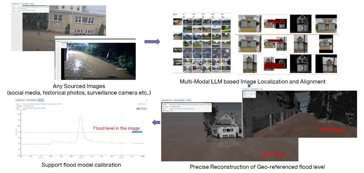
Turn real-world imagery into actionable insight
Expands Data Coverage
Use crowdsourced and historical imagery
Real-World Context
Understands visual clues beyond raw data
Faster Insights
Accelerates post-event analysis and response
More Resilient Communities
Helps identify vulnerable areas and improve preparedness
05
Impact Risk Layer
Hazard-to-consequence intelligence
Go beyond water depth.
The Impact Risk Layer translates flood hazards into real-world consequences — showing estimated damage to buildings, infrastructure, and communities across different flood scenarios. Built on industry-standard methods like HAZUS and enhanced with proprietary data, it delivers consistent, scalable risk insights to support smarter investment, planning, and resilience decisions.

Put risk into real-world context
Property Damage
Estimate structural and content losses
People & Vulnerable Populations
Identify those at greatest risk
Critical Infrastructure
Assess impacts to transportation, utilities, and essential services
Environmental Impacts
Understand broader community and ecosystem effects
From pixel to policy.
Urban Reality turns geospatial data, flood models and real-world imagery into intelligence for more resilient decisions.
Acquire
Multi-source data (satellite, aerial, ground)
Visualize
Real-world flood conditions (generative AI)
Analyze & Assess
Risk, impact & resilience (analytics & AI)
Act
Smarter decisions, stronger communities